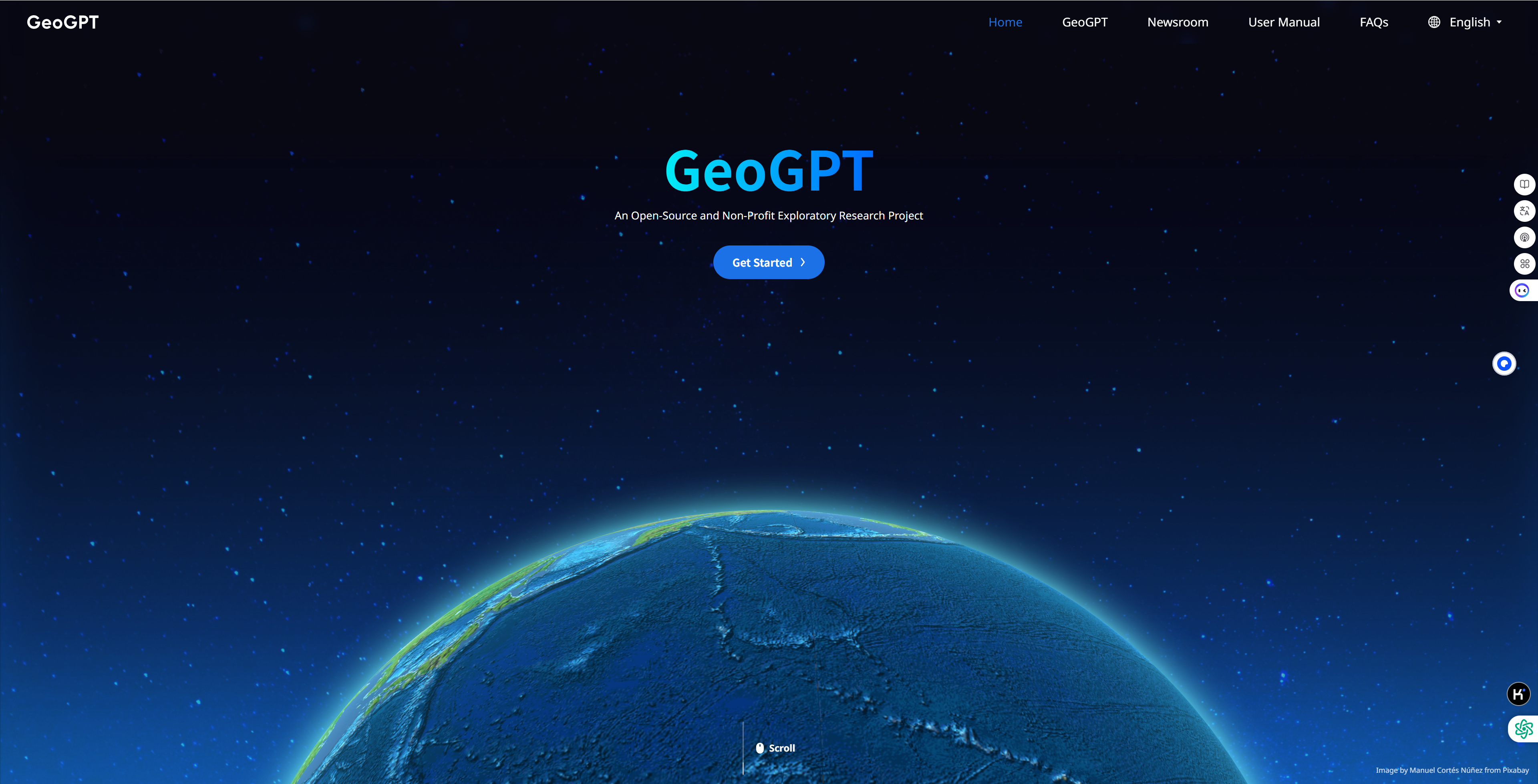


GeoGPT, a foundation model for geosciences, was officially open to the world at 9:00 on April 27, 2025 (Beijing Time). GeoGPT is a domain-specific foundation model tailored for geoscientists. Inspired by the mission and vision of the Deep-Time Digital Earth (DDE) International Big Science Initiative, GeoGPT was initiated at Yunqi Academy of Engineering and developed by Zhejiang Lab (ZJ Lab), providing new tools and perspectives for geoscience researchers worldwide and promoting a paradigm shift in earth science. Regarding GeoGPT, which is open to the world, the reasoning model GeoGPT-R1-Preview was launched, featuring four core functions: Deep Discovery, Reader & Extractor, Map Chat & Map Generator, and My Library, which significantly boost research efficiency and spark innovative ideas. GeoGPT is also firmly committed to open, transparent and ethical governance, and an open, transparent, independent international governance committee (GeoGPT Governance Committee) has been set up to exercise strict supervision over GeoGPT to ensure integrity, reliability, data privacy, fairness and scientific transparency. Under the supervision and guidance of the GeoGPT Governance Committee, Zhejiang Lab has open-sourced the model weights for three GeoGPT models, Llama3.1-70B-GeoGPT, Qwen2.5-72B-GeoGPT, and GeoGPT-R1-Preview, as well as a list of training data sources.
Core Functions of GeoGPT
1、 Deep Discovery
Deep Discovery is suitable for situations that require in-depth information retrieval and analysis. Click the Deep Discovery button in the dialog box to activate it, enter a question and click Send. GeoGPT will perform Deep Discovery on the question, and you can track its progress in real time. At the same time, you can view the content explored and read by GeoGPT during this process in the "Activity and Sources" window on the right. Based on user input, GeoGPT will generate a detailed Deep Discovery report to advance your research efficiently.
2、Reader & Extractor
GeoGPT enables effortless understanding of literature content and data. You can click to select any single part of a paper, such as text paragraphs, tables, and charts. You can interact with the paper through natural language prompts to gain deeper insights. With GeoGPT's powerful document extraction function, you can create custom datasets. Select the documents you require from the Document Center, click "Extract Tables" to extract all the tables from the documents and convert them into text. Next, you can also extract needed metadata information from these documents and display it in a tabular format. For commonly extracted fields, you may save them as templates for easy access to improve your workflow efficiency.
3、Map Chat & Map Generator
GeoGPT has robust multimodal question-and-answer capabilities, allowing you to upload geologic maps and retrieve information through interactive dialogues. Click "Upload Image" to upload a geologic map from your local device to extract latitude and longitude coordinates and legend information. Alternatively, click on one sample image to quickly initiate a map recognition process. After selecting the type of geologic map, enter content in the input box and click the Send button to engage in a Q&A session about the geologic map. In addition to recognizing geologic maps, GeoGPT can also generate geologic maps through conversations. Geologic Map Generation is compatible with multiple data types and rendering styles and supports a rich set of tools, flexibly meeting mapping needs.
4、My Library
In "My Library", you can upload frequently used literature and data, create teams, and manage collaboration to create a personalized knowledge base. In "My Documents", you can perform operations on your files, including uploading, moving and deleting, to achieve effective management. Once a document is uploaded, GeoGPT will automatically start the format parsing process. You can use the search function to query relevant documents in your personal knowledge base that match the conditions. In addition, you can perform document question answering based on your personal knowledge base. In "My Datasets", you can extract data by clicking the "Extractor" button in the upper-left corner of the interface and save the required data to the database. GeoGPT also allows users to transfer interested images/tables from documents to an image/table library.
Adhering to open science, ZJ Lab aims to build GeoGPT into an open-source, non-profit international S&T public good. Since July 2023, the GeoGPT team has been working with domain experts to build datasets and has cooperated with 318 geoscientists from 21 universities. Moreover, the team has actively exchanged ideas and discussed with experts in niche areas, and established research cohorts of scientists to sum up common demands, develop research tools, and push for addressing scientific problems. GeoGPT's capabilities have achieved positive results in many research scenarios. For example, in order to solve the thorny problem of filtering and analyzing igneous rock data from massive literature and geological data, the GeoGPT team and the igneous rock database team under the Institute of Geology of the Chinese Academy of Geological Sciences made joint efforts to develop AI tools such as literature structured analysis tool, interactive question answering system integrating geological knowledge graphs, intelligent spatial information extraction tool and 3D visualization engine, which enable efficient collection, understanding and analysis of data from massive geoscience literature, thus accelerating the development of an igneous rock database platform, shortening research period, and providing an important foundation for research on the evolution of deep-earth materials. In the case of stratigraphic studies, Prof. James Ogg, former Secretary General of the International Commission on Stratigraphy, and his team have long been dedicated to the building of the global Geolex stratigraphic database, providing a solid data foundation for research on the history of geology. The GeoGPT team needs to continuously extract and organize relevant data from a large amount of scientific literature and input them into the database. This process requires high accuracy and work intensity, and traditional algorithms are unable to meet this practical requirement. In this case, using GeoGPT Extractor significantly improves team efficiency. The data extraction task that used to take one week to complete can now be completed with high quality just in one day. In the field of geologic maps, in order to solve problems such as large data analytics workload, unworkable software, intricate balance and details, and difficulties in interpretation and expression, the GeoGPT team has successfully built up GeoGPT's multimodal geologic mapping capabilities in collaboration with China Geological Survey, allowing users to extract latitude and longitude coordinates from geologic maps, initiate a Q&A session about the geologic map, and generate geologic maps through conversations. Shadrach S. Sheriff, a geographic information system analyst in Nigeria, said after using GeoGPT, "Traditional geologic map generation tools involve complex processes and steep learning curves. These tools require systematic training and extensive experience, which not all geoscientists possess. Large Language Models, on the other hand, are revolutionizing this space by enabling text-based interactions for map generation." GeoGPT looks forward to working with you to start an exciting scientific research journey!
Domestic Site: https://geogpt.zero2x.org.cn
International Site: https://geogpt.zero2x.org
Open Source Link: https://github.com/GeoGPT-Research-Projecthttps://huggingface.co/GeoGPT-Research-Projecthttps://modelscope.cn/profile/GeoGPT
For more information and feedback, please contact us at support.geogpt@zhejianglab.org.


